

/
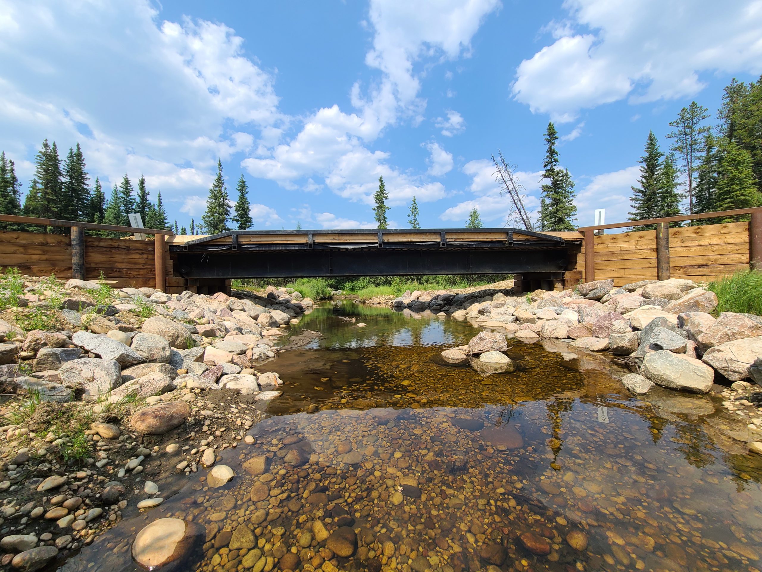
SCARI
Designed for assessing a WCC and collecting a complete data set that is compliant with all regulatory and customized operational criteria. This process will establish the risk for any Watercourse Crossing. Fulfills all Government of Alberta regulatory requirements.SCARI is designed to provide an easy way to collect enough information for a thorough crossing assessment that exceeds the minimum requirements set by the Roadway Watercourse Crossing Inspection Manual.
The app uses a Decision Support System (DSS) to determine the extent to which the crossing poses a risk to fish passage. This information is then used to prioritize crossings in a watershed-level restoration plan. Clients can view this information on our website at any time.
Scari Process:
- Model: Using spatial data, we are able to predict watercourse crossing locations.
- Inventory: Qualified field staff take a full inventory of crossings and perform crossing inspections.
- Model: Use field data to determine which crossings are priority at the watershed level.
- Plan: Create a restoration plan for all crossings in the watershed.
- Fix: Replace, repair or restore problem crossings.
Related Products

SCARI Lite
Designed to inventory basic information of new, repaired, or reclaimed crossings. This is considered a citizen science level of inventory work and can be used by untrained surveyors to report on completed works, to report on high-risk sites located when in the field, or to conduct a basic locational and photographic inventory.
SCARI Restoration
Designed to assess a WCC once it has been restored. This will allow a before and after comparison to being made at the dashboard level.